Lone Peak is the dramatic cliff and mountain top dividing Salt Lake and Utah valleys. At 11,253' above sea level, it stands nearly 7,000' above the valley floors, and most approaches don't waste too much time climbing it, which means steep and strenuous.
Approaches include passing through the 1st and 2nd Homomgog north of Alpine, then turning west along the Lake Hardy trail briefly before climbing a steep, shallow ravine; Jacobs Ladder from Suncrest summit or Corner Canyon; or perhaps up the Cherry Canyon Logging Trail.
Trails in this area with so much granite can become difficult to follow - don't turn down just because a sandy wash looks like a trail, only to get stuck between cliffs in the dark. Search and Rescue responded 13 times to lost hikers one summer, until they marked the trail more clearly, then they didn't return for 2 years.
The trail to the top follows the ridge from the north, though there are a few spectacular 700' climbing routes. To the south, or into Bells Canyon on the east, are very steep and not recommended.
Distance:
Elevation gain:
Steepness: fairly steep.
Notable Features:
Amenities:
Fees:
When to go: wait for the snow to melt.
Directions:
Mountains, lakes and other features accessed:
Connecting & cross trails:
Download GPX:
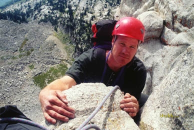
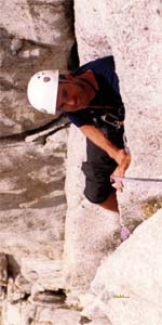
Photos: